Tuesday 29 July 2014

Arisaig


24 hours later than planned we set off from Port Mor headed for Arisaig. On the way we had major excitement as a small pod of Minke whales was spotted, much larger than the dolphins and porpoises we had seen previously. A conspicuous white mark on the rocks aids the identification of the entrance to Arisaig, and perches mark the channel between a plethora of rocky islands, some with white sand beaches.

The rocky approach to Arisaig.

Eider ducks on the rocks.

We stayed two nights on a mooring, catching up on chores and provisioning the boat. Whilst in Arisaig we walked along the shore and up the hill to the station, which both afforded great views of the village and Loch nan Ceall. We also had a trip around the Loch in the dinghy to see the local seal population.

Arisaig Village.

Loch nan Ceall, with the entrance channel in the distance.

The Sgurr of Eigg viewed from Arisaig

Seals resting in Loch nan Ceall

‘NJ’ on her mooring with the Mallaig steam engine passing on the hillside behind.


Monday 28 July 2014

Muck : 21st & 22nd June


A three hour passage took us from Coll to The Isle of Muck, again not much wind so mainly motor sailing.

Muck, with Eigg in the background.

At anchor in Port Mor.

Once we had settled at anchor we took the dinghy ashore to explore the island.

Port Mor almost to ourselves.

On our walk we visited the local tea shop to buy some eggs and bread. Later we encountered some friendly hens and sheep being herded by a shepherdess on her bicycle. The views all around were stunning.

The local Tea Shop.

Friendly Hens.

Rush hour on Muck !

The road to nowhere.

View out towards Rum.

The next day we had plans to leave Port Mor for Arisaig on the mainland, however the boat’s plumbing had other ideas. We had a major blockage, and sadly the day had to be spent resolving the problems – not nice!!!! In the space of 24hours we had experienced the highs and lows of boating – more MUCK than we had bargained for but a beautiful place to visit.


Coll


We left Tobermory just before 10.00, heading north west round Ardmore Point, and then out to sea towards Coll. We sailed some of the way and also used the engine when the wind dropped. The day was a bit overcast and there was some drizzle. Three and a half hours later we were approaching Loch Eatharna. A couple of young fishermen were busy catching mackerel at the entrance buoy. Rob was on the helm and had to take avoiding action when they did not see us coming. We found a free visitor mooring to pick up for the night.

View ashore looking at the village of Arinagour

Shortly after we had moored the fishermen came alongside and offered us some of the mackerel they had just caught. We were delighted to accept the fish in exchange for a couple of lagers. A fine feast was had. 

Freshly caught mackerel for supper.

In the evening we went ashore to pay the mooring fee and go for a walk.

NJ’ moored in Loch Eatharna.

View of Arinagour and Loch Eatharna.


Friday 18 July 2014

Tobermory, gateway to new cruising grounds

After a leisurely start we left the Loch Aline pontoons with a promise to return to this delightful spot. Sails were raised and we had a fine beat up the Sound for about three hours, then, as time was marching on, we motored the last section into Tobermory. This turned out to be a good move, as there were only a few spaces left on the pontoons.

Heading up the Sound of Mull towards Tobermory

The 'Classic' view of the village, with the brightly painted buildings on the sea front.

Toberymory pontoons with the village in the background

It soon became apparent that a Little Ships Club regatta was in town, and this provided some entertainment as the members were piped ashore for their evening gathering.

Members of the 'Little Ships Club' being piped ashore.

After supper we went for a walk through the village, and out towards the headland beyond, this afforded good views back towards the pontoons.

The pontoons and facilities building from the far side of the village.

After one night in Tobermory we decided to head out towards Ardnamurchan point ( the most Westerly point of mainland UK ) and then Southwest to Loch Arinagour on Coll.


Loch Aline - June 18th and 19th

We headed out of Dunstaffnage in misty conditions making for Lady Rock off Lismore Island, and on to Loch Aline on the mainland side of the Sound of Mull. The conditions soon deteriorated to a fairly thick fog, and we could hear the fog horn of a ship close by. We were grateful for the reassurance of the chart plotter and AIS system connected to it, which allowed us to 'see' the ships around us together with their course, speed, closest point of approach, and time to that point. Today was also the first time we had used the fog horn built into the new VHF radio in anger. Lady Rock was spotted on our starboard side, and eventually we glimpsed Duart Castle to port, by which time we had moved over to the mainland side of the sound and out of the way of large ship movements. A short time later the mist started to disperse, and we were soon treated to bright, warm sunshine.

The last of the mist dispersing from the mainland side of the sound of Mull.

Looking back the fog bank was all too clear.

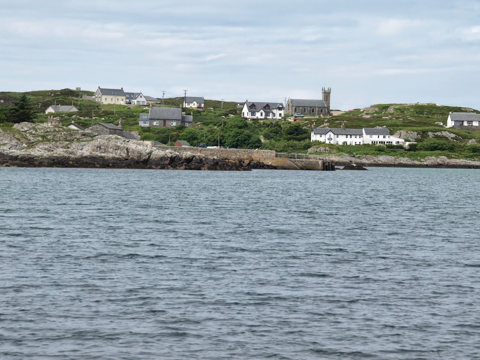
As we approached Loch Aline we had to slow a little to stay clear of the Ferry and avoid offlying rocks. By now the village was in bright sunshine as we passed the ferry terminal.

Loch Aline village and ferry terminal.

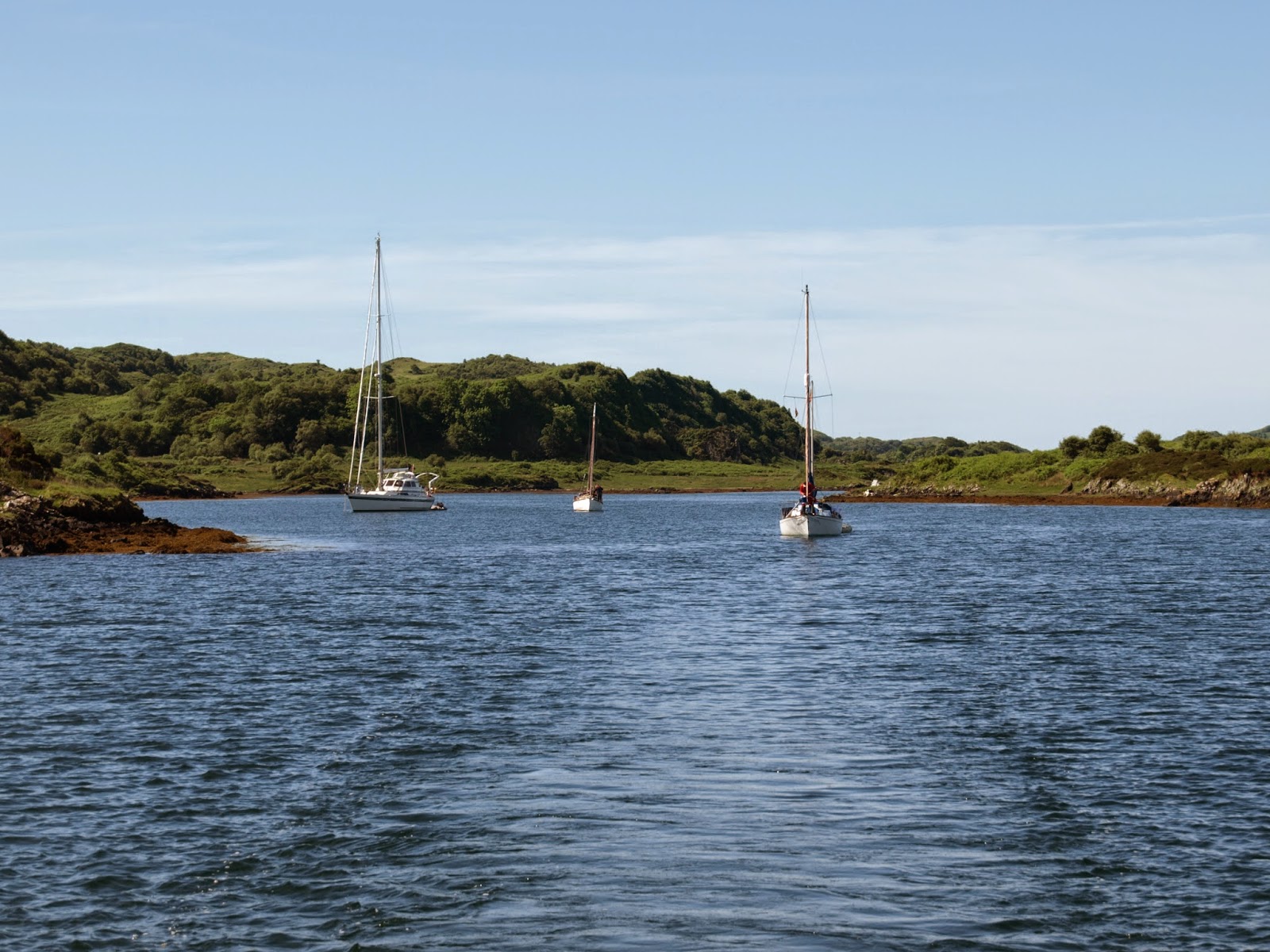
When we set out we hadn't decided whether to anchor on the South side of the Loch or to investigate the pontoons which had been installed recently. One look at the nice brand new pontoon facilities persuaded us. Loch Aline is famous for the pure Silca sand which is mined from the hillside between the village and the pontoons. Apparently the quarry had had a batch of sand that was too high in Iron to be used commercially and the marina was using this material to build a beach, the white sand and very clear water gave an almost Caribbean appearance; when it is finished it will be very attractive indeed.

The new marina with it's developing Caribbean beach.

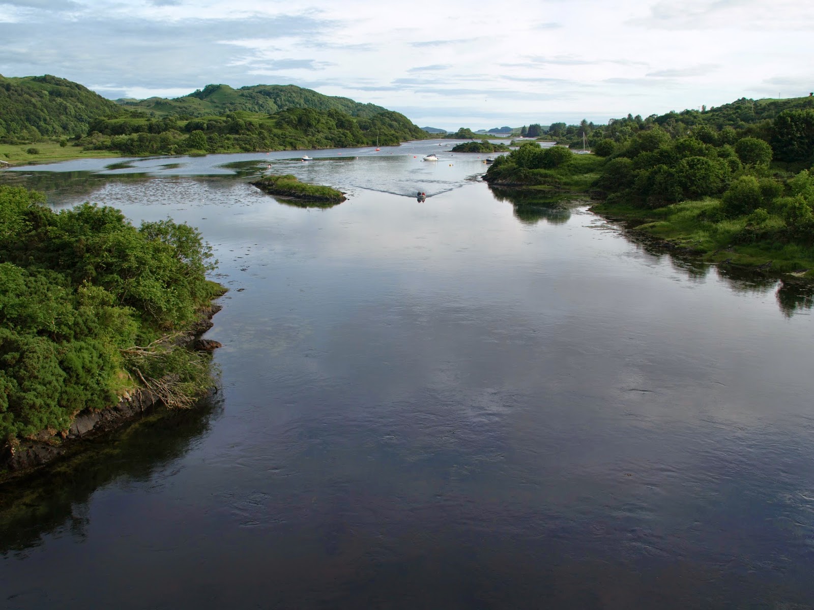
The view through our window towards the entrance and the anchorage.

We had two nights here, having a few nice walks with wonderful views down the Loch, and over the Sound of Mull. In the distance to the Southeast we could still see the fog that we had sailed through the previous day. 

Great view of Mull from the War Memorial at the top of the village.

Looking Southeast with Ardtornish Castle and yesterdays fog in the distance.

Having stocked up on supplies at the excellent village shop we now started to plan our next moves, and into waters we had not been to before. The next stop was to be Tobermory at the Northwest end of the Sound of Mull, the Northernmost point we had been to by boat before.

Return to Dunstaffnage

Shortly after leaving Oban marina, we heard the CalMac ferry announcing it's departure, so increased speed a little to keep clear. Turning towards Dunstaffnage, we had our first view of the entrance for about 30 years, along with a good view of Connel bridge, spanning the entrance of Loch Etive.

The entrance to Dunstaffnage Bay.

Connel bridge and Loch Etive.

Sue's Dad had kept his Twister 'Shandie of Chichester' in Dunstaffnage for several years, and eventually sold her from here. Sue wanted to revisit this marina to see if  'Shandie' was still there. Soon after we moored up, we chatted to one of the marina staff who knew 'Shandie' and was able to tell us that she had been sold a few years before and was no longer based at Dunstaffnage.

NJ in Dunstaffnage Marina.

There were several families of Eider ducks in the marina.

Eider duck creche

We had one night in Dunstaffnage, then headed out to the Sound of Mull in fairly thick fog!


Oban Marina and Kerrera.

After negotiating the exit of the anchorage at Puilladobhrain we motored in a North Easterly direction, past the entrance to Andoran, and into Kerrera Sound in glorious sunshine.

Kerrera Island from Kerrera Sound

Kerrera Sound with Oban in the distance.

As we approached Oban, we contacted the marina ( which is on Kerrera Island ) for a berth. After a little confusion with the marina staff, who were looking at a different boat, not us, we moored safely.

NJ moored in Oban Marina.

We had a beautiful walk from the marina around the North end of the island, getting great views of Oban, Northeast towards Loch Etive and Connel, and Northwest towards Mull and Lismore Island.

Looking Northwest to Mull.

Looking Northeast towards Loch Etive and Connel.

Looking Southeast over Kerrera Sound and Oban.

On our walk we encountered an asssortment of wildlife including Highland cattle, a Peacock, and some very hot looking four horned sheep.

Rather extraordinary four horned sheep trying to keep cool in the shade.

The Marina ran a small ferry to and from Oban, and we took advantage of this to buy provisions. It was quite a shock to be in a significant town again, with all the noise and traffic that implied. After a second night in the marina we filled up with diesel, and then motored the short distance to Dunstaffnage Marina to see if Sue's Dad's Twister was still in residence.


Puilladobhrain

From Loch Melfort our voyage took us through the tidal gate at Cuan Sound between the islands of Luing and Seil.

Our track through Cuan Sound.

Cuan Sound with Mull in the background.

On entering the Firth of Lorn we raised the sails and had a gentle beat into a light north east wind. The wind soon died and the tide was building against us. The iron sail was started and we headed to Puilladobhrain.

Location of Puilladobhrain anchorage given away by masts behind the rocks.

Just before 16.00 we anchored in Puilladobhrain. 

NJ anchored furthest to the right.

In the evening we went ashore in the dinghy and walked to 'The Bridge Over the Atlantic'. A pint was had in the pub at Clachan Bridge.

Clachan Bridge, 'The Bridge Over the Atlantic'

Looking south from Clachan Bridge

The next day we left taking care to keep on the transit of two white marks on the rocks.

Leaving Puilladobhrain

Thursday 10 July 2014

Loch Melfort

Loch Melfort was high on Sue's wish list of places to visit as it was where she did her undergraduate geology mapping project. We left Ardfern in time to hit slack water Dorus Mor at about midday. On the way we had a good view of the Gulf of Corryvreckan shrouded in mist and fog, looking very foreboding in the distance - another significant tidal gate to be experienced in the future.

Mist shrouded Corryvreckan

Despite it being near slackwater the tide was swirling at  Dorus Mor. The tide turned in our favour as we headed north and our SOG picked up to a maximum of 8.6 knots. 

Turbulent water at Dorus Mor.

We were never troubled by the dense fog banks in the area and the sun came out. 

On passage to Loch Melfort

Mid afternoon we arrived in Fearnach Bay to be surrounded by Sue's mapping area. We picked up a mooring, took the dinghy ashore to pay our dues and were surprised to be given an internet wifi code! Very nice to have as there was no mobile phone signal.

Moored in Fearnach Bay, Loch Melfort

After supper we went ashore again for a walk around the bay towards Kilmelford so that Sue could revisit the fine geology along the shore.

Sue's rocks!